“Switzerland would be a mighty big place if it were ironed flat.”
Well, I’m back after a rather long break because somehow life got very difficult to organize for a while and I stopped going on adventures. However, I am happy to say that it seems that I have found my bookworm nerdiness again. It has been missing. But it is back with a vengeance, which makes me smile.
The Background
I love to travel to places mentioned in books, or places connected to authors and have done my fair share of touristing connected to Eden Philpotts, Agatha Christie, Jane Austen and Heidi. Last week I followed the path of Stephen O’Shea from a passage in his book The Alps: A Human History from Hannibal to Heidi and Beyond.
In the book he mentions the Insubric Line, which is where the African and European tectonic plates met many years ago to create the Alps, and said that it could be seen below the village of Pianazzo near Bellinzona in Switzerland. I almost died and went to heaven, although I knew this information, I had never really thought much about it, until now. I live in Switzerland and had a trip planned to this area. I quickly went into how-can-I-find-this-place mode.
The Planning
Let me just say that it was not quite as easy as I had thought it would be because although the locals know about this, it is not bigged up as a tourist attraction for those of us nerdy enough to follow a passage in a book to the area in search of a geographical boundary. There is information about the boundary line and some great hikes in the area, but not at the specific location that I wanted to see.
With the help of two very amused women at the tourist information office in Locarno, I had it all planned out – first the train from Locarno to Giubiasco, then the bus to Pianazzo and then find the trail to the river to see the bridge that spanned two continents and enjoy the moment.
The Trip
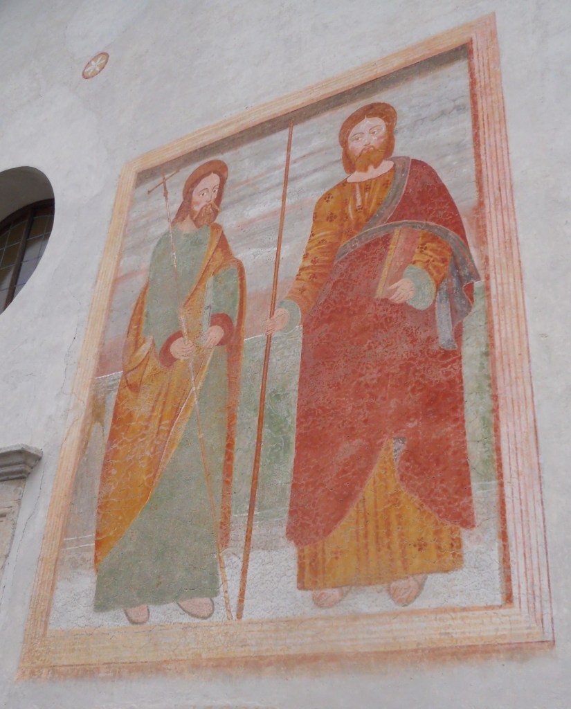
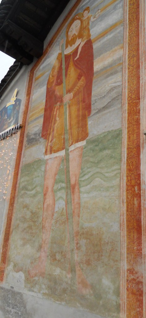
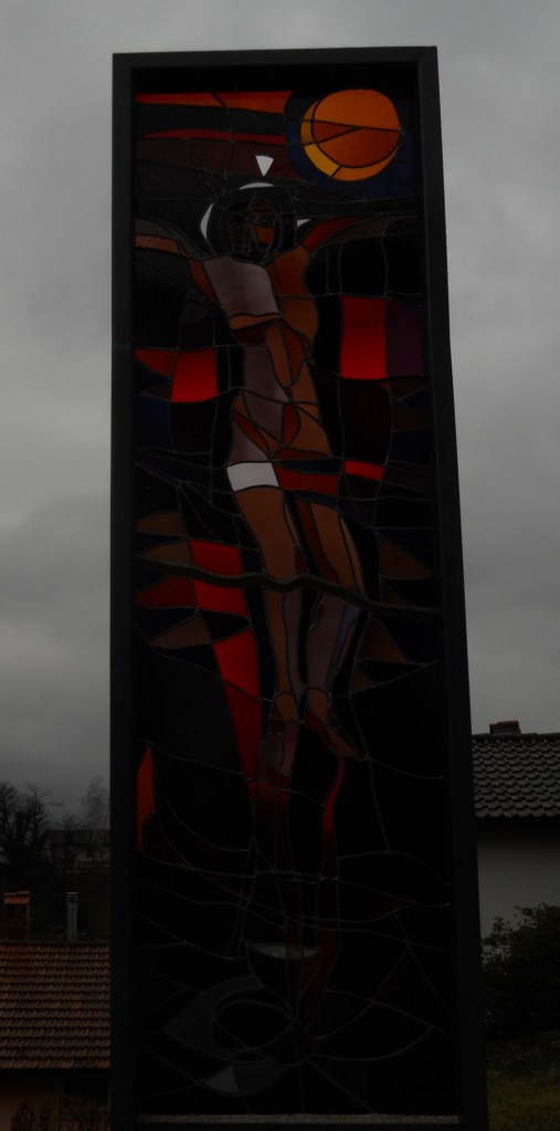
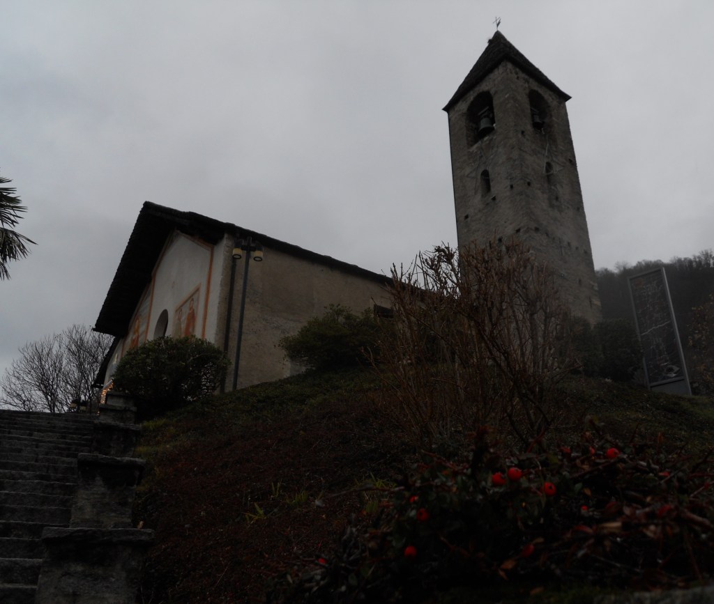
Yeah, so, no, that didn’t happen. I missed the bus because I got off one stop late (Bellinzona) and by the time I got back to the right train station (Giubiasco), the bus had left and the next one was not for another hour and a half. So, what’s a girl to do besides walk? I was on a mission to see and walk on two continents that day. The path led straight up the mountain – a 2 km hike up a rather steep incline and when I got to the village I couldn’t find any more trails. In despair, I noticed that there was a church only a little higher and decided to visit it before I went back. The bus went through the village at 11:30am and I thought that I might as well take it down the mountain to get out of the rain.
Yes, so, no that didn’t happen. On my way down the bus drove past me before I was back on the main road and I couldn’t flag it down. That is when serendipity, or just dumb luck, stepped in – from above I was able to see trail markings below the main road that clearly led down to the river. I was very pleased with myself and off I went down into a different valley to see what I could see.
The Path
“The path is not too steep, and a canopy of chestnut foliage blocks out the harshness of the sun. I pass a shine to the Virgin Mary. I pay careful attention to the rocks exposed on my way down. Interspersed amid the traces of mica are elongated stone and pebbles standing vertically,[…] proof of the tremendous tectonic pressures exerted on them millions of years ago.
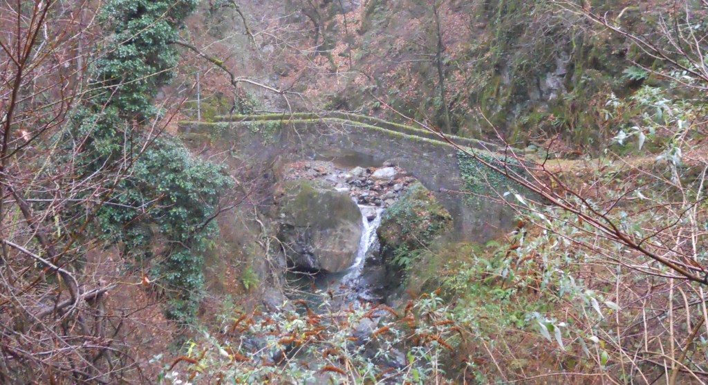
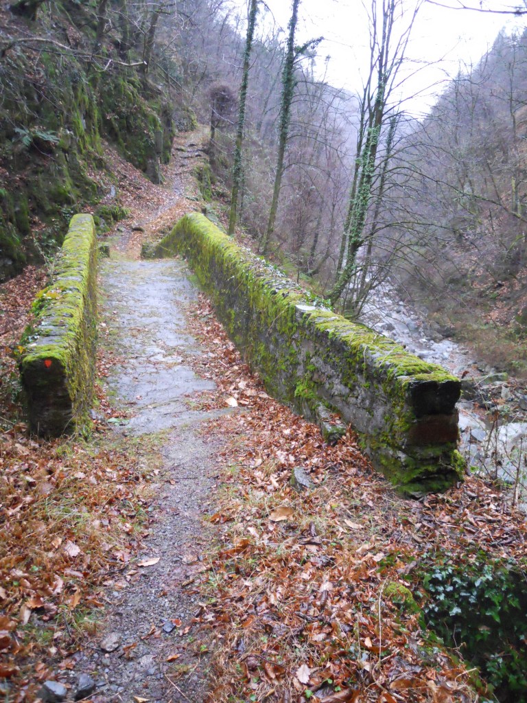
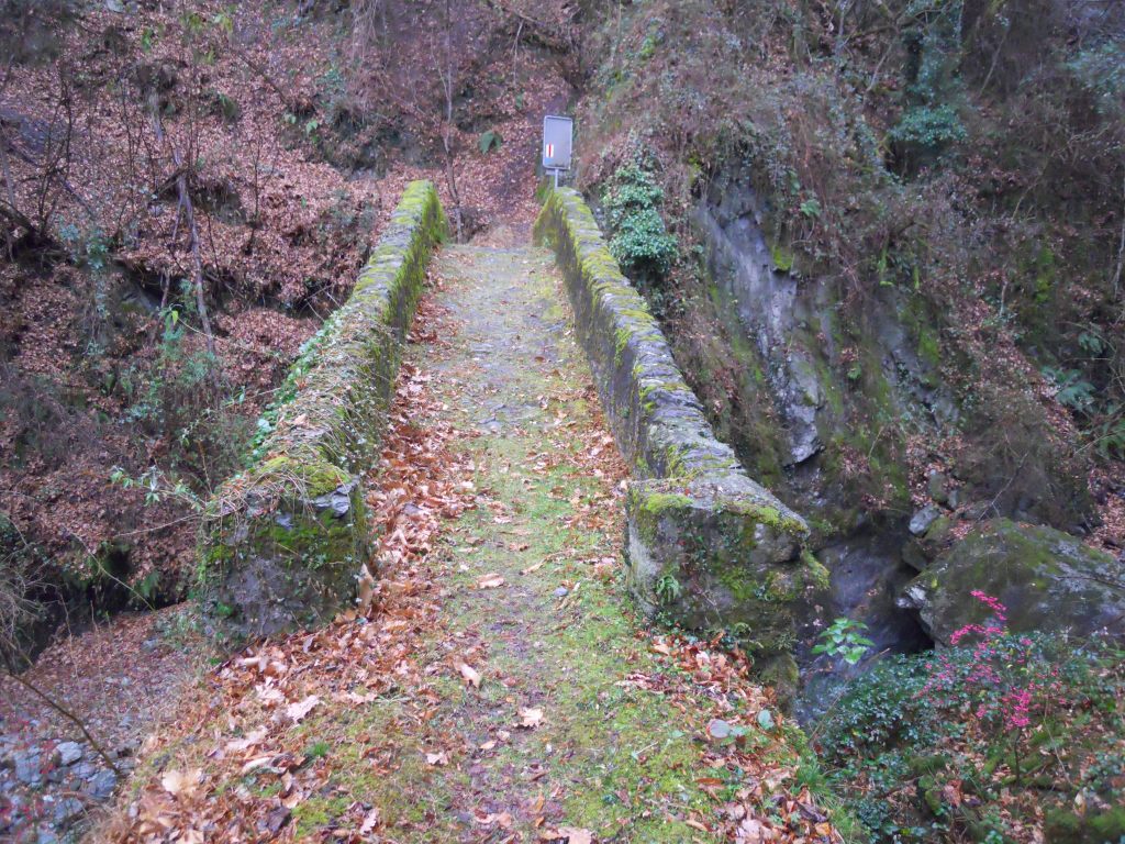
I come to the iron bridge, a study construction over a secondary gorge. The path leads on. Within minutes, I see the medieval bridge, a lovely single span of stone, humpbacked and covered in a soft carpet of green moss. Perhaps fifteen meters beneath it, the crystalline waters of the brook rush past.”… (The Alps: A Human History from Hannibal to Heidi and Beyond page 141)
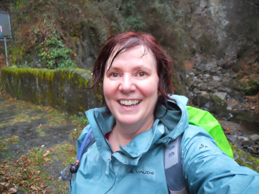
I whooped when I saw the stone bridge because it was exactly as the book had described, well except that in the winter you see it just before the iron bridge because the chestnut leaves are all underfoot instead of in a lovely canopy blocking the rain. ‘The beautiful old stone bridge joins two continents.’ I danced back and forth across the bridge several times before I decided that I’d had enough of the rain and needed to head back before the building fog reduced visibility further.
The ascent to the village was a bit tricky because of the thickness of the wet leaves, but I made it back to the top and checked the bus schedule. The next bus was in about an hour so I decided to walk down the mountain rather than sit and wait in the rain. It was a glorious walk in spite of the rain because I was absolutely delighted with the whole experience and I felt like I was walking on air. I will be heading back to the region to do longer hikes around the plate boundaries as soon as possible.


This is amazing! That bridge in the summer must be glorious.
LikeLike
Absolutely, it was a gorgeous location but the weather made it difficult to get photos that showed that.
LikeLike